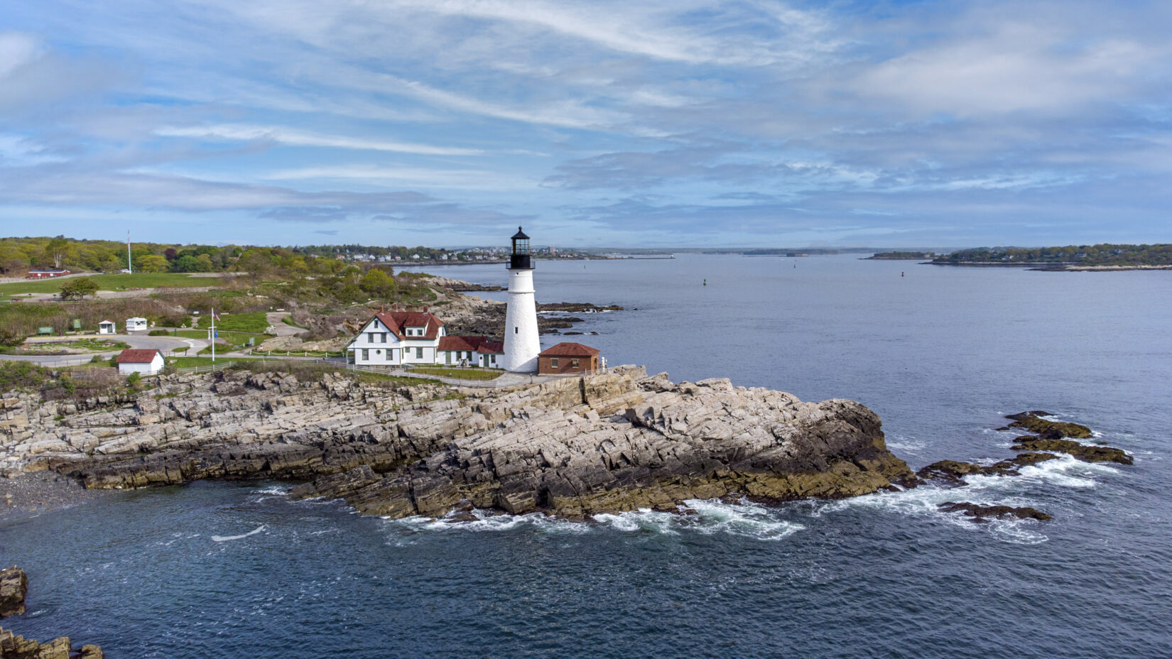
Experience your property, hotel, or project from a new vantage point with professional aerial photography. Our aerial photography captures full property coverage, stunning perspectives, and architectural details that ground-level shots simply can’t achieve. Ideal for hotels, resorts, and large-scale developments, these striking images create unforgettable visuals that help your brand stand out.
Aerial & Drone Photography & Video
Built to support multi-location commercial projects, CS3 provides aerial photography and drone video services nationwide through our vetted network of FAA-Certified Pilots.
Request a QuoteWhy Aerial Photography is a Game-Changer for Your Business

PROMO MATERIALS

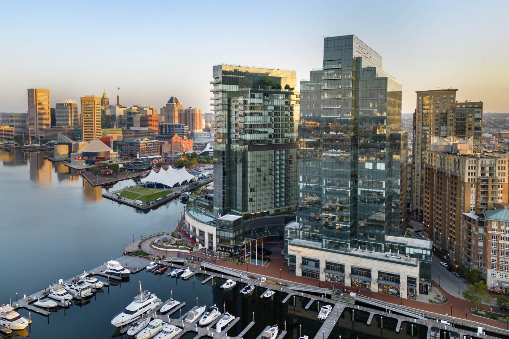
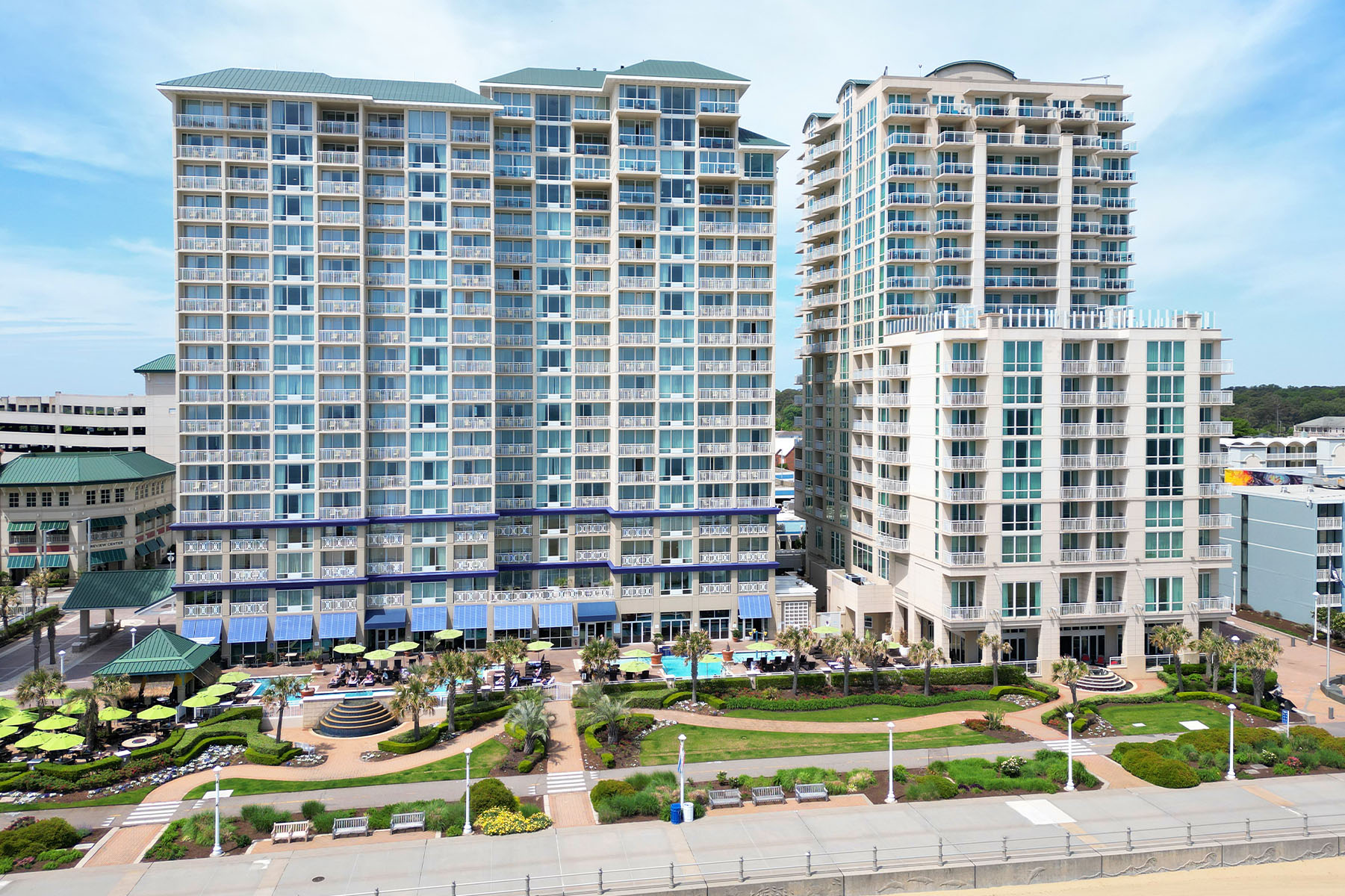
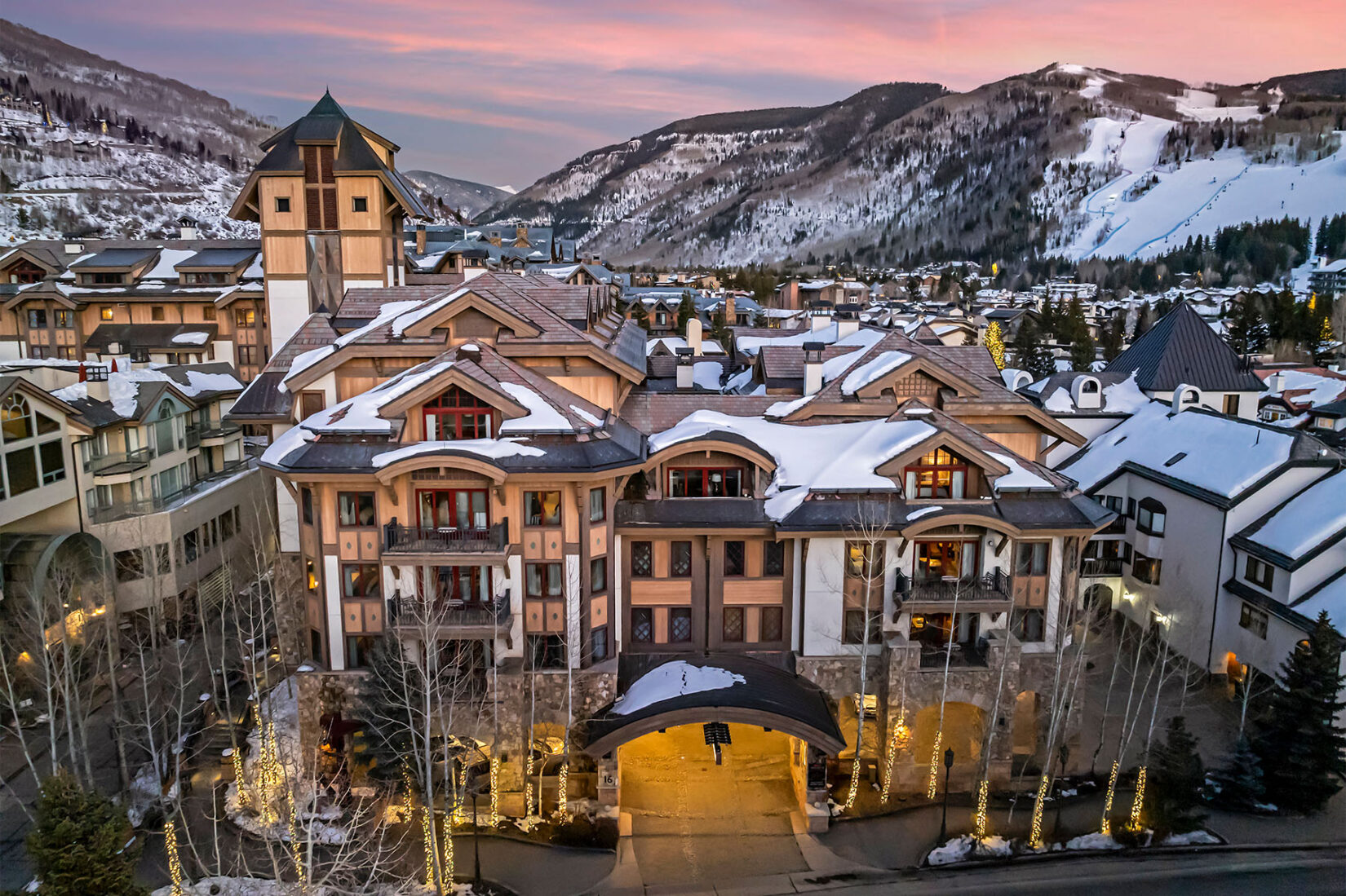
Commerical Properties

Construction progress

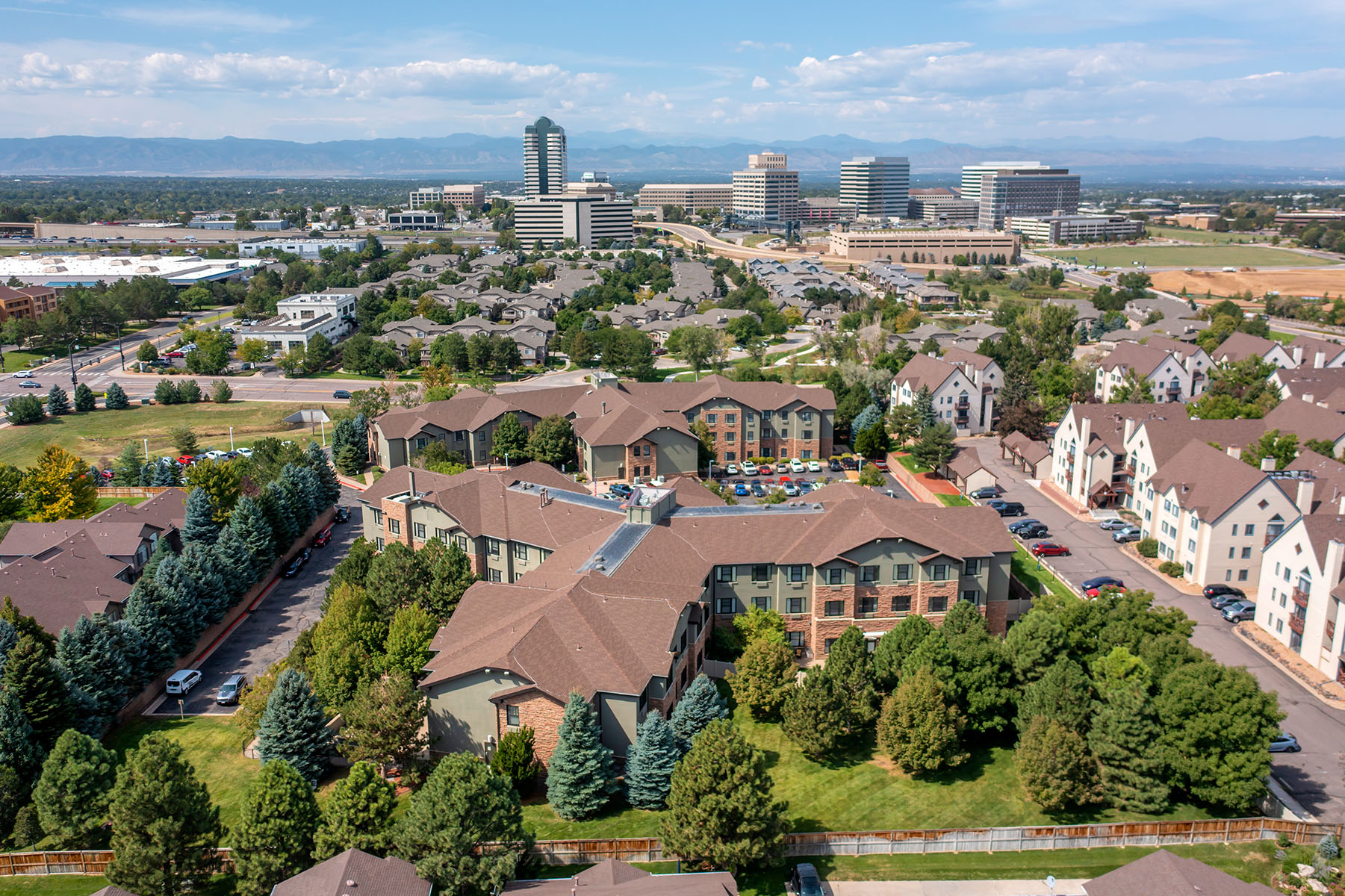
Campuses
PROMO MATERIALS
Enhance your promotional collateral with beautiful aerial imagery or videos of your property. Easily show your neighborhood and your location in a snap.
See Examples
Commerical Properties
Drone photography captures the scale, surroundings, and accessibility of commercial real estate properties in a way traditional photography can't. It enhances listings by providing context, attracting potential buyers or tenants with a comprehensive view of the property and its environment.
See Examples
Construction progress
High-resolution aerial views that document construction progress with precision and clarity. It helps stakeholders monitor developments, ensure timelines are met, and make informed decisions without needing to be on-site.
See Examples
Campuses
Drone photography offers a dynamic, bird’s-eye perspective that showcases the full scale and layout of a school campus, highlighting its facilities, open spaces, and architectural features.
See Examples
PROMO MATERIALS
Commerical Properties
Construction progress
Campuses
Why Choose CS3 for Aerial Photography?
When the scale of your vision demands a view from above, CS3 Photography is here to help you capture it with images that do more than just simply showcase a location.
We take pride in photographing the breadth of your space, just as you envision it, so you can vividly convey the essence and appeal of your property to your prospective customers.


See the Difference with CS3 Photography
- Rapid Turnaround Times
- FAA Part 107 Certified Drone Operators
- Proven Experience with Big Brands
- Transparent, Flat-Rate Pricing
- Nationwide Network of Local Photographers
- Extensive Coverage in 20+ Countries
- High-Resolution Imagery
- Significant On-Site Flight Time
Looking for impactful aerial photography that tells your unique story? Let us help you show off your space like never before. Get started by requesting a quote now.
Start Your Project with CS3 in 3 Easy Steps

1. Request a Quote
Tell us about your project, location and any specific requirements or ideas you have in mind when requesting a quote.

2. Schedule a Shoot
Let us know your availability and preferences so we can arrange your shoot at a time that best suits your busy schedule.

3. Get Your Assets
You'll receive your professionally captured and edited aerials in a ready-to-download format so you can immediately begin using them!
Frequently Asked Questions
What is aerial photography?
Aerial photography captures images from an elevated vantage point, typically using a drone equipped with a high-resolution camera. It shows the full scale, layout and surroundings of a property or project in a way that ground-level shots can’t. Aerial images are widely used across commercial real estate, hospitality, construction and campus marketing to give viewers a clear sense of a space and its context.
How does drone photography work?
Commercial drones carry stabilized, high-resolution cameras that capture stills and video from the air. A certified pilot operates the drone from the ground, controlling altitude, angle and flight path to frame each shot precisely. GPS positioning and gimbal stabilization keep imagery sharp and consistent, even in less-than-ideal conditions.
What aerial services does CS3 provide?
CS3 offers aerial photography, drone video and aerial panoramic imagery for commercial projects of all sizes. Deliverables typically include high-resolution aerial stills, property overview videos and footage for marketing materials. Every project is tailored to the client, whether the goal is capturing a hotel exterior, documenting construction progress or showing a full campus layout.
What types of aerial projects do you support?
CS3 supports aerial work across hospitality, commercial real estate, construction, senior living, education and large-scale retail. Projects range from hotel and resort exteriors to construction progress documentation, campus overviews and renovation updates. Our team scales to match the scope, whether that’s a single property or a portfolio-wide initiative.
Do you offer drone services nationwide?
Yes. CS3 has a vetted network of local drone photographers and videographers in all 50 states. Because our pilots are local to each market, there are no travel fees or added logistics. We can also schedule multiple shoots across different locations at the same time, which keeps multi-site projects moving on tight timelines.
Can you handle multi-location or rollout projects?
Yes. CS3 deploys photographers and drone operators to multiple sites simultaneously, using standardized shot lists and consistent editing workflows to maintain quality across every location. We handle the scheduling, logistics and delivery so your team can focus on the work that follows the shoot.
How quickly can you schedule a drone shoot?
Because CS3 has local photographers in every state, shoots can typically be scheduled on short timelines without delays from travel or availability. Turnaround depends on project scope and location, but our network is built for fast mobilization. For larger projects, we coordinate simultaneous shoots across the country to keep rollouts on schedule.
Are your drone operators FAA certified?
Every drone operator in the CS3 network holds FAA Part 107 certification, the federal standard required for commercial drone flights in the United States. Each pilot has passed an aeronautical knowledge test and understands airspace regulations, weather considerations and safe operating procedures. It’s a non-negotiable requirement for any project we take on.
What is FAA Part 107 certification?
FAA Part 107 is the federal regulation governing commercial drone operations in the U.S. To earn certification, a pilot must pass an FAA knowledge test covering airspace classifications, weather, flight restrictions and emergency procedures. Part 107 pilots are authorized to fly commercially and must follow rules around altitude limits, visual line-of-sight and restricted airspace. Working with certified operators ensures your project meets federal safety and compliance standards.
Is your drone work insured?
Yes. CS3 carries commercial and comprehensive general liability insurance with a minimum of $2 million per occurrence. We can provide a Certificate of Insurance listing your organization as an additional insured upon request.
Start Your Aerial Photography Project Today
Whether you’re showcasing your property, capturing the scale of an event or simply bringing a unique vision to life, our expert team is ready to transform your ideas into breathtaking aerial imagery. Request a quote now to get started on your aerial photography project: