Blog
The Ultimate Guide to Real Estate Drone Photography
March 20, 2021
Drone photography revolutionizes how we view properties, from cozy single-family homes to expansive commercial campuses. By soaring above, drone photographers capture unique angles and aspects that ground-level photography simply cannot. Whether it’s residential areas, shopping centers, educational campuses or sprawling outdoor venues, drones provide a breathtaking aerial perspective that can transform ordinary views into extraordinary visuals.
Considering drone photography for your next project? This guide will walk you through the essential dos and don’ts of real estate drone photography, ensuring you capture stunning images while navigating the complexities of aerial imaging.
What is Real Estate Drone Photography?
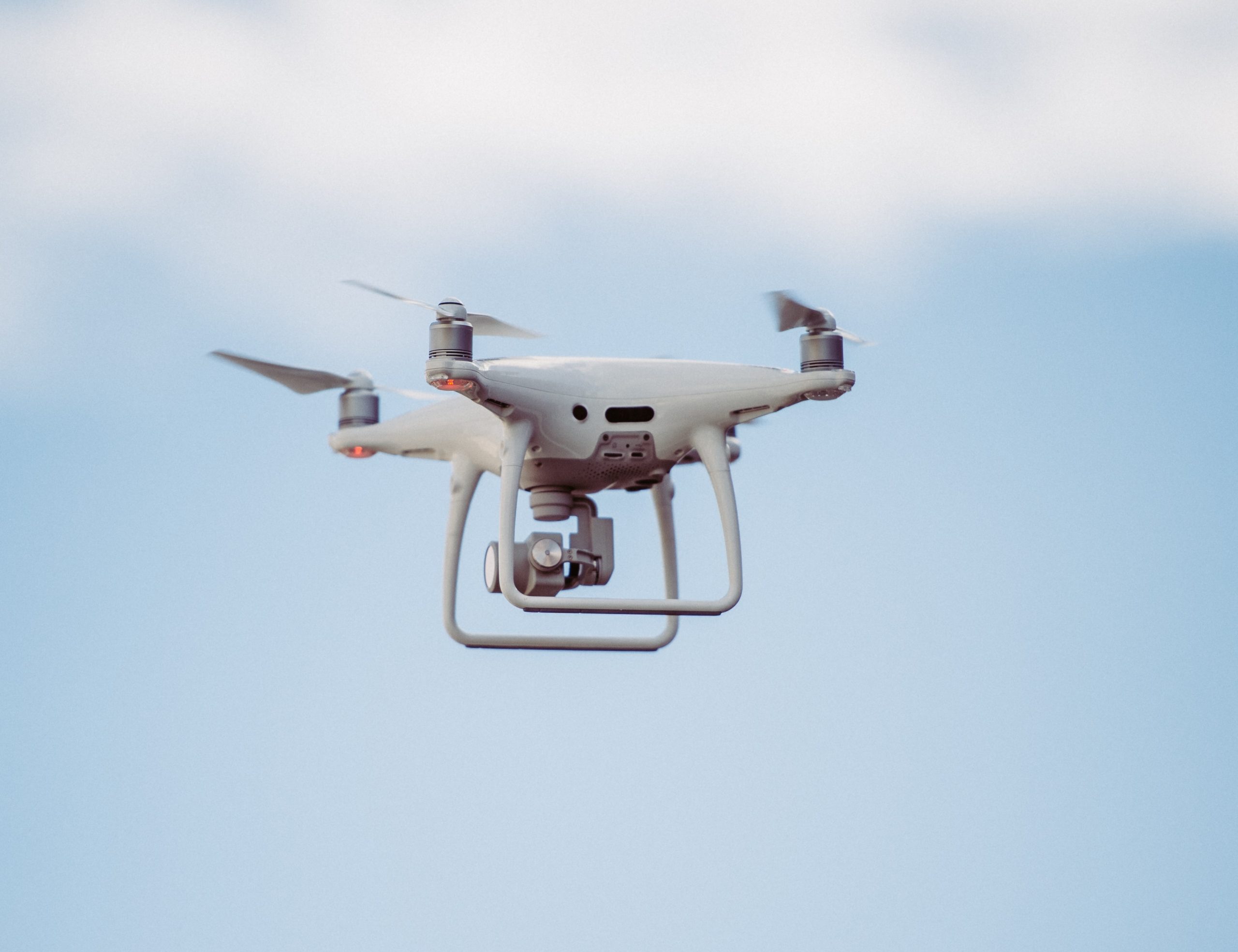
Drone photography involves using drones, or unmanned aerial vehicles (UAVs), equipped with high-resolution cameras to capture aerial photographs and videos of properties. This approach allows real estate professionals, developers and marketers to showcase properties from unique and elevated perspectives, offering potential buyers a comprehensive view of the entire property and its surroundings.
Benefits of Real Estate Drone Photography:
- Enhanced Visual Appeal: Drone photography adds a dramatic and dynamic element to property listings, making them more visually appealing and engaging to potential buyers.
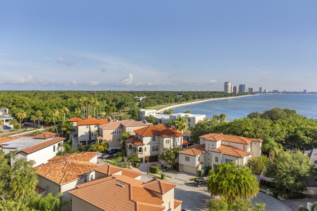
- Comprehensive Overviews: It provides a bird’s-eye view that captures the scale of a property, adjacent areas and access routes, delivering a complete sense of the place that ground-level photos cannot.
- Increased Marketability: Properties featured with aerial images stand out in crowded marketplaces, attracting more interest and potentially speeding up the sale process.
- Cost-Effective Marketing: While offering a high-value perspective, drone photography can be more cost-effective compared to other traditional aerial imaging methods, such as manned aircrafts.
By incorporating aerial views, drone photography not only enhances the attractiveness of property listings but also provides valuable information to buyers, making it a crucial tool in today’s real estate market.
Traditional Images vs. Aerial Drone Images
In real estate marketing, the choice between traditional ground-level photography and aerial drone photography can significantly impact how a property is presented. Here’s how the two stack up against each other:
Perspective and Visual Impact
Traditional images provide familiar, eye-level views that are great for showing the property as one might see it in person. However, they often lack the dramatic impact that aerial drone images possess. Drone photography offers high-elevation shots that reveal the property’s layout and its relationship with its surroundings, providing a comprehensive overview that is visually striking and often more engaging.
Detail Focus vs. Scope of Coverage
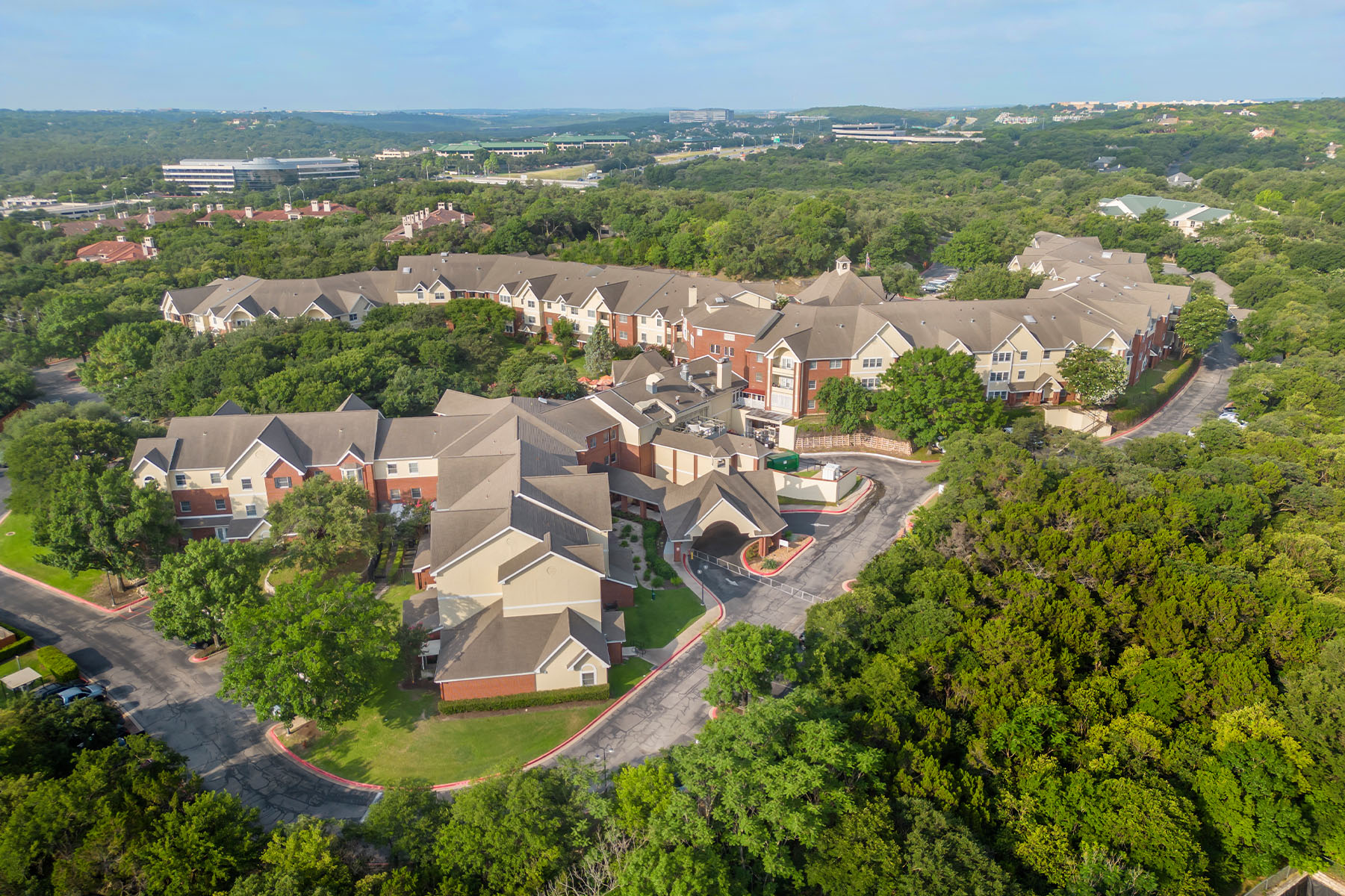
While traditional photography is unmatched in showing intricate interior details — essential for highlighting the quality of finishes and craftsmanship — it may not effectively convey the scale and boundaries of larger properties. Aerial drone images fill this gap by covering vast areas and showcasing features like landscaping, outbuildings and large estates in one encompassing shot.
Engagement and Market Differentiation
Ground-level shots might not fully capture a property’s uniqueness, potentially making listings less engaging. Aerial images not only grab attention but also help listings stand out in a competitive market. They provide potential buyers with a quick yet thorough understanding of what the property offers, making these listings more appealing.
How Have Drones Changed Real Estate Marketing?
Drones have revolutionized real estate marketing by providing new perspectives that were once difficult and expensive to achieve. Aerial drone photography allows real estate professionals to showcase properties in their entirety, including their layout, location and their relationship to surrounding areas — all from captivating aerial viewpoints.
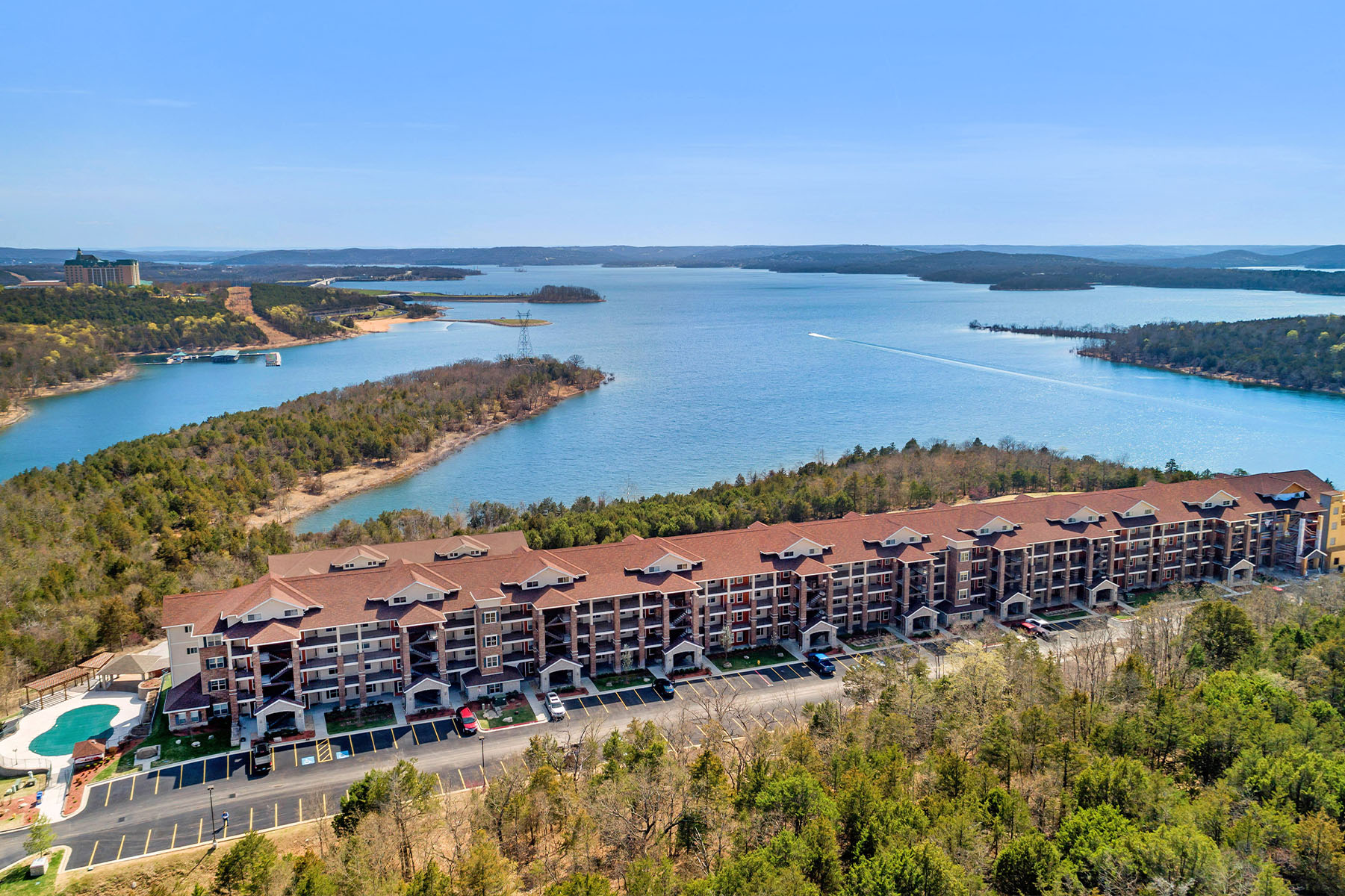
Moreover, drones can quickly capture panoramic and detailed images of large estates, commercial properties and hard-to-access areas, offering potential buyers a comprehensive view without the need for physical site visits. This not only saves time and resources but also helps properties stand out in a crowded market. Drone photography’s visual appeal and comprehensive perspective have made it an essential tool in modern real estate marketing strategies, significantly enhancing property visibility and buyer interest.
Drone Photography: Enhanced and Unique Views
Drone photography gives properties and spaces an advantage over traditional “on-the-ground” photography. With drone photography, you get expansive and comprehensive views of a property captured in one shot. Not every property — such as a large outdoor venue or campus — is ideal for a ground photoshoot. But with a drone, you can see it all and get the perfect shot for your marketing materials.
If you’re searching for professional real estate photography in Orlando (or another location), CS3 Photography has a network of experienced photographers and drone pilots who can meet your needs and deadlines. Our post-production process ensures that you receive the best photos and footage of your property. Whether you have a multi-family housing campus, shopping center, residential property, or something else you need photographed, our team is here to help.
5 Real Estate Drone Photography Tips
With the significant advantages that drone photography brings to real estate marketing, ensuring you get the most out of each session is crucial. Here are five tips to help you secure breathtaking aerial photographs that will elevate your property listings to the next level:
1. Decide on Your Flight Path
A drone’s flight path is essentially how the photographer can take photos of your property at the right angle. With specialized software, the team can map out what areas to shoot, as well as the angle and tilt.
If you have multiple buildings you’d like to photograph, map out a flight plan and camera plan so you know exactly what buildings are being photographed and at what angles. This helps capture the best angles and highlights your property’s most outstanding features. Planning these things out in advance with your photography team will allow for smooth sailing on the day of your shoot.
2. Don’t Rush the Shoot
One of the advantages of drone photography is that it can capture breathtaking angles of a property. However, you need good weather conditions to get the perfect shots.
Weather, wind, and other factors outside your control can sometimes affect a photoshoot. Wind can especially cause shaky camerawork for videography — even with stabilizers — if gusts are strong enough. While it can be frustrating to have to wait out a rainstorm or unexpected weather, the results of your patience will be worth it!
3. Take Long Shots
Long shots of the same angle are essential if you’re also filming your property with a drone. These long clips will be edited down later in the post-production process to create a seamless aerial view or tour of your property.
These long shots are aided by gimbals, which stabilize the drone and ensure smooth footage of your property. Even if there’s some wind, a gimbal will keep the drone stable as it captures photos and videos of your property.
4. Don’t Try to Shoot in High Winds
Weather can seriously affect a drone photography session, with the wind being especially risky. High winds can damage the drone itself, especially if there’s debris in the air. High winds can also create turbulence, making it much more challenging to get a steady shot.
Many drones are “quadcopters,” meaning they have four rotors and propellers with a camera mounted on the drone. Damage to the propeller or the rotor can be costly, and collision with objects can be hazardous. Instead, wait out the wind or shoot at a lower angle and closer to the ground to avoid as much turbulence as possible.
5. Hire a Professional for the Photoshoot
Before you start browsing the internet to buy a drone, consider hiring a professional team for your project. Since a drone is an unmanned aerial system (UAS), you must have a Remote Pilot certification. If you don’t already have this certificate and the right equipment, you may want to hire an outside team of professionals.
A professional team of drone pilots and photographers can help you capture your property’s best features. A team of experts can not only operate the drone for you while capturing photos and videos, but they can also edit them in the post-production process to create seamless video and unique aerial photos. They can also recommend when and where to shoot in order to capture all of your property’s greatest features.
See How CS3 Can Help Elevate Your Real Estate Listings
Elevate your property listings with CS3 Photography’s expert aerial drone services. Specializing in stunning aerial visuals, we capture your property’s unique features, helping you stand out in the competitive real estate market.
Contact us today to discover how our high-quality aerial drone photography can enhance your marketing efforts and showcase your properties like never before.